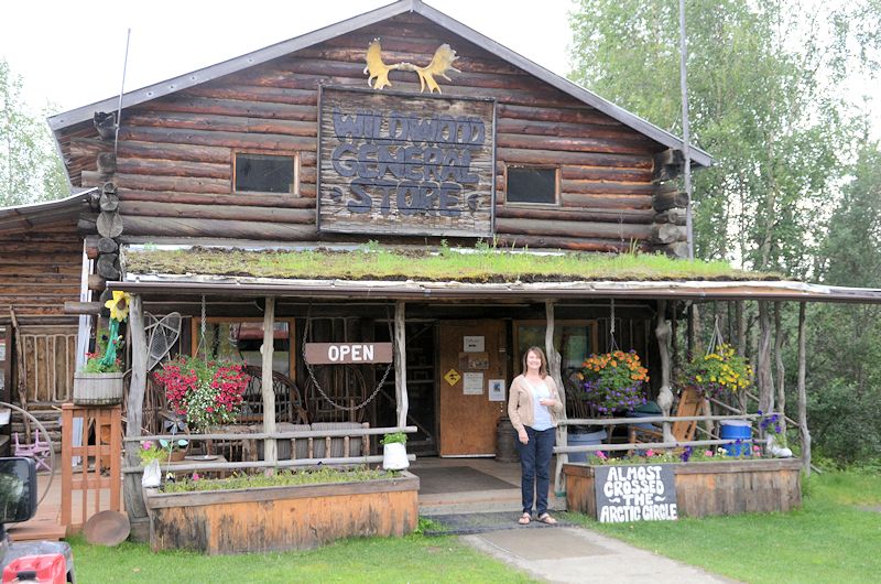
We returned to Horseheads last week – and very quickly resumed family life. Our daughter arrived home at the same time; she has been living in Madrid, teaching English for the past year and has her own blog Kri$ten en €spaña. I returned to my part-time job, we celebrated our 28th anniversary, and Jeff resumed working on his many projects and planning our next trip.
Some credits are due. Harriet, thank you forgiving me the idea of the blog – we now have a written account of the trip and it will be fun to look back at it. Here’s a picture of your old house I took while passing through Illinois – thought you might like to see it:
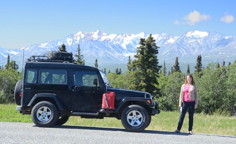
 Jeff, thanks for planning the trip of a lifetime – your attention to detail is amazing! Also, for the record, Jeff took most of the pictures.
There are a few final photos.
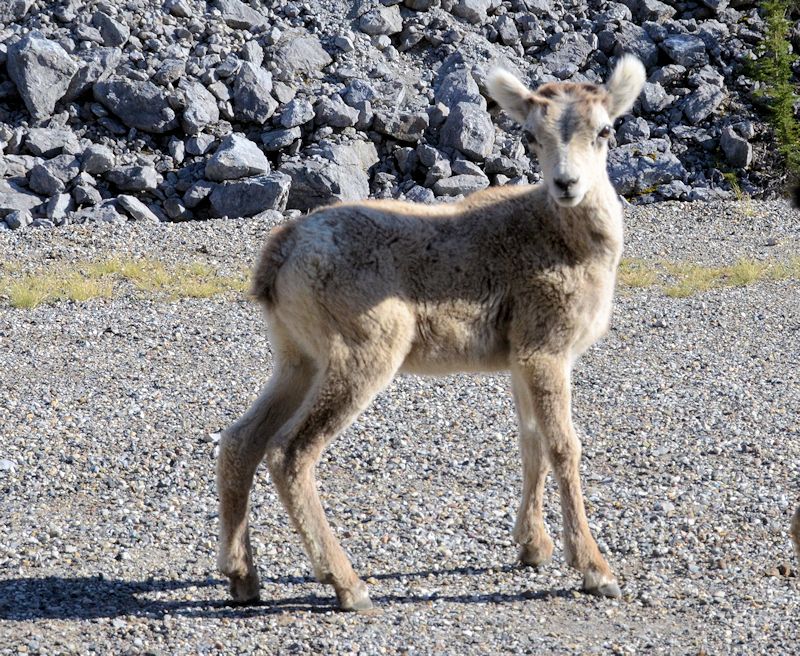
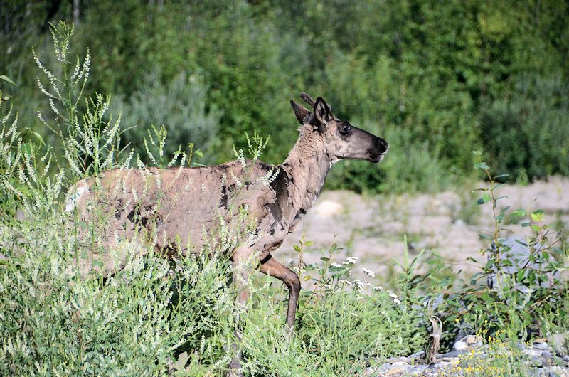
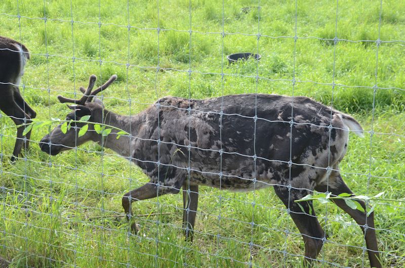
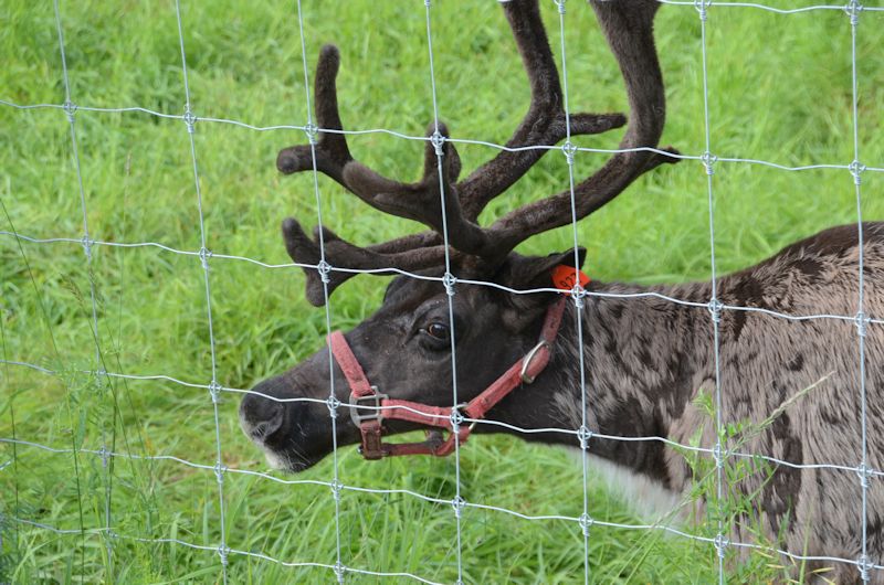
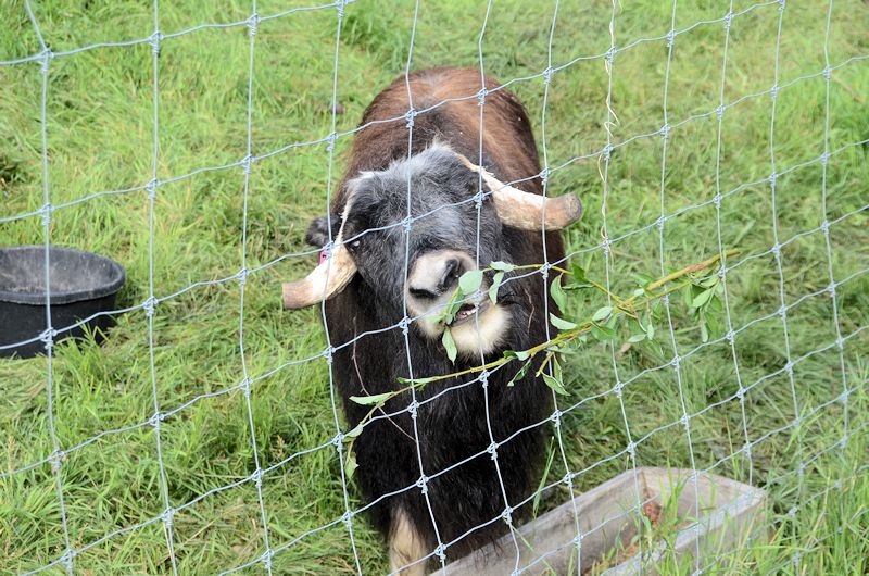
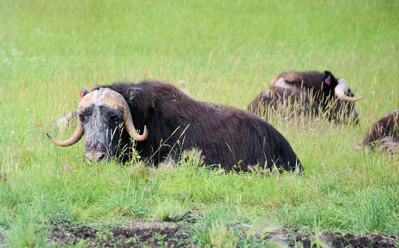
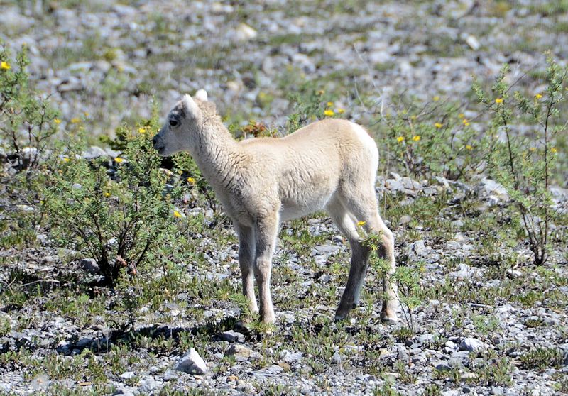
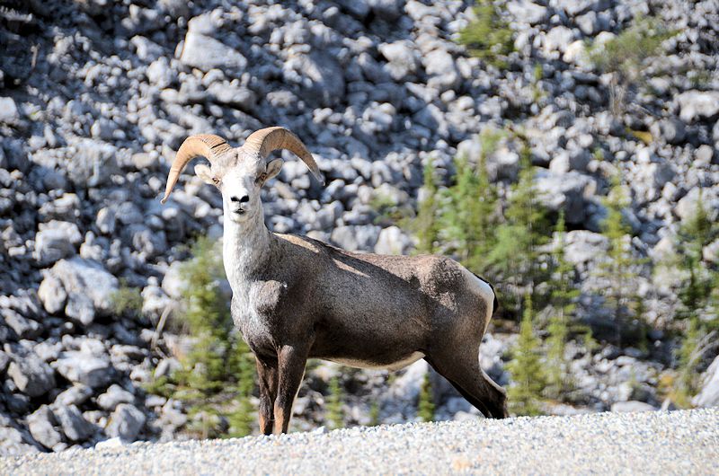
Animals and animal-related
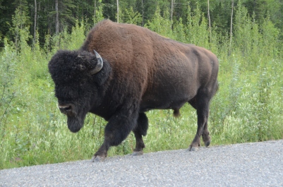
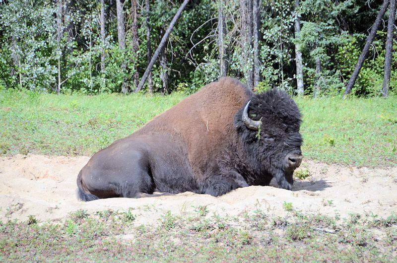
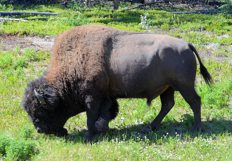
Another bison- he was walking down the side of the road:
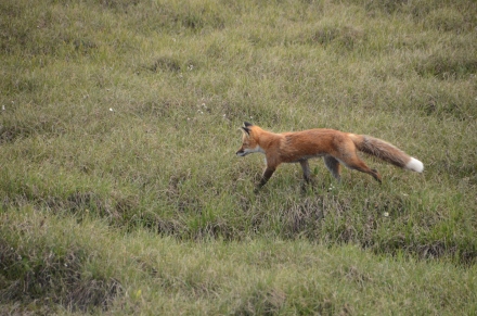
Fox:
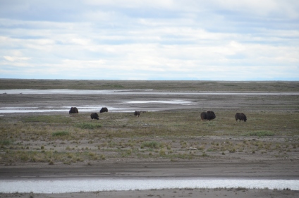
Wild musk ox living in Prudhoe Bay – it’s hard to believe they can maintain their size by eating just the tundra plants:
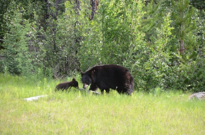
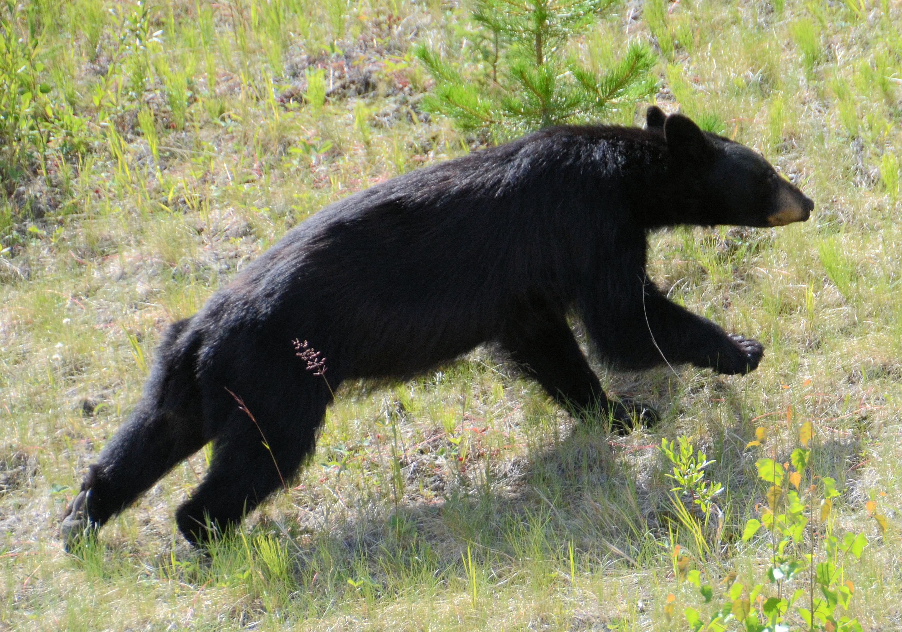
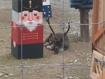
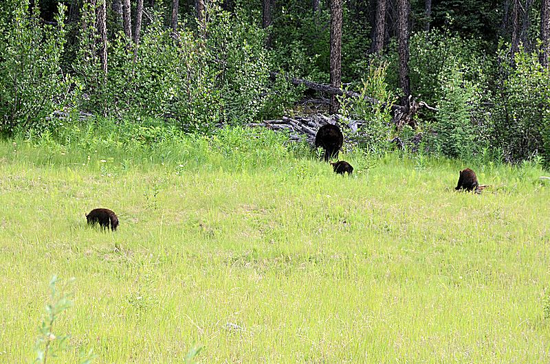
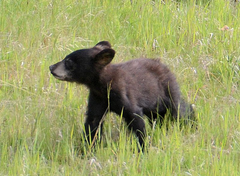
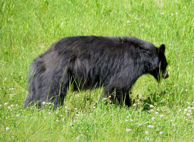
Cute bears:
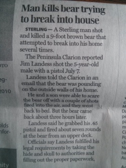
Not so cute bear:
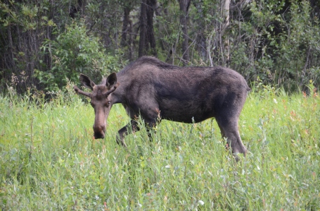
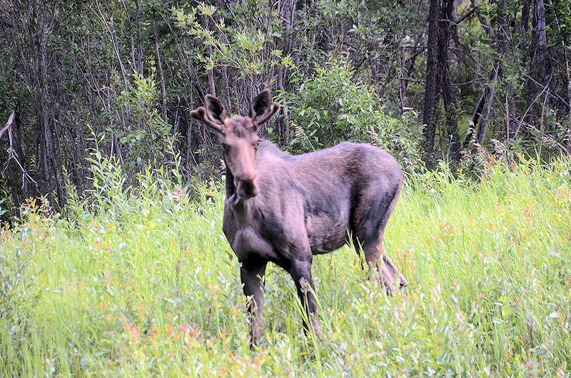
Another moose – they can weigh up to a 1500 pounds and eat 9800 calories per day!
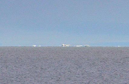
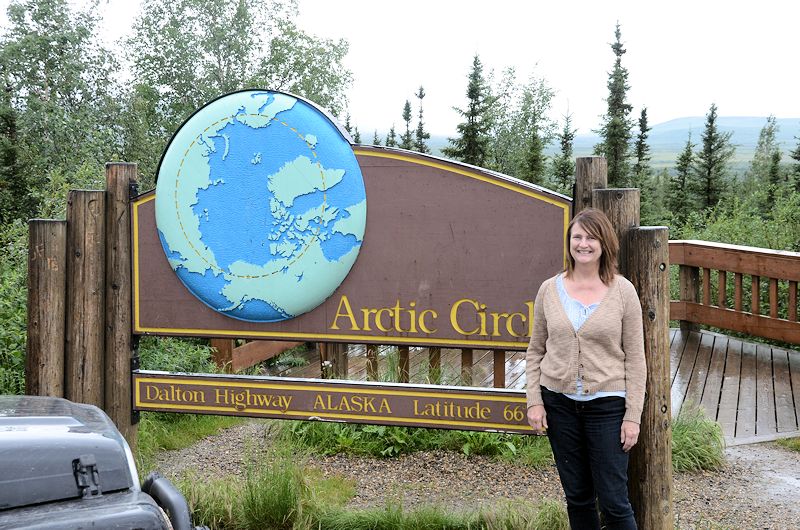
Arctic ocean
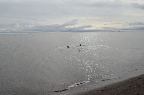
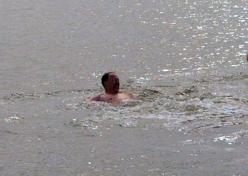
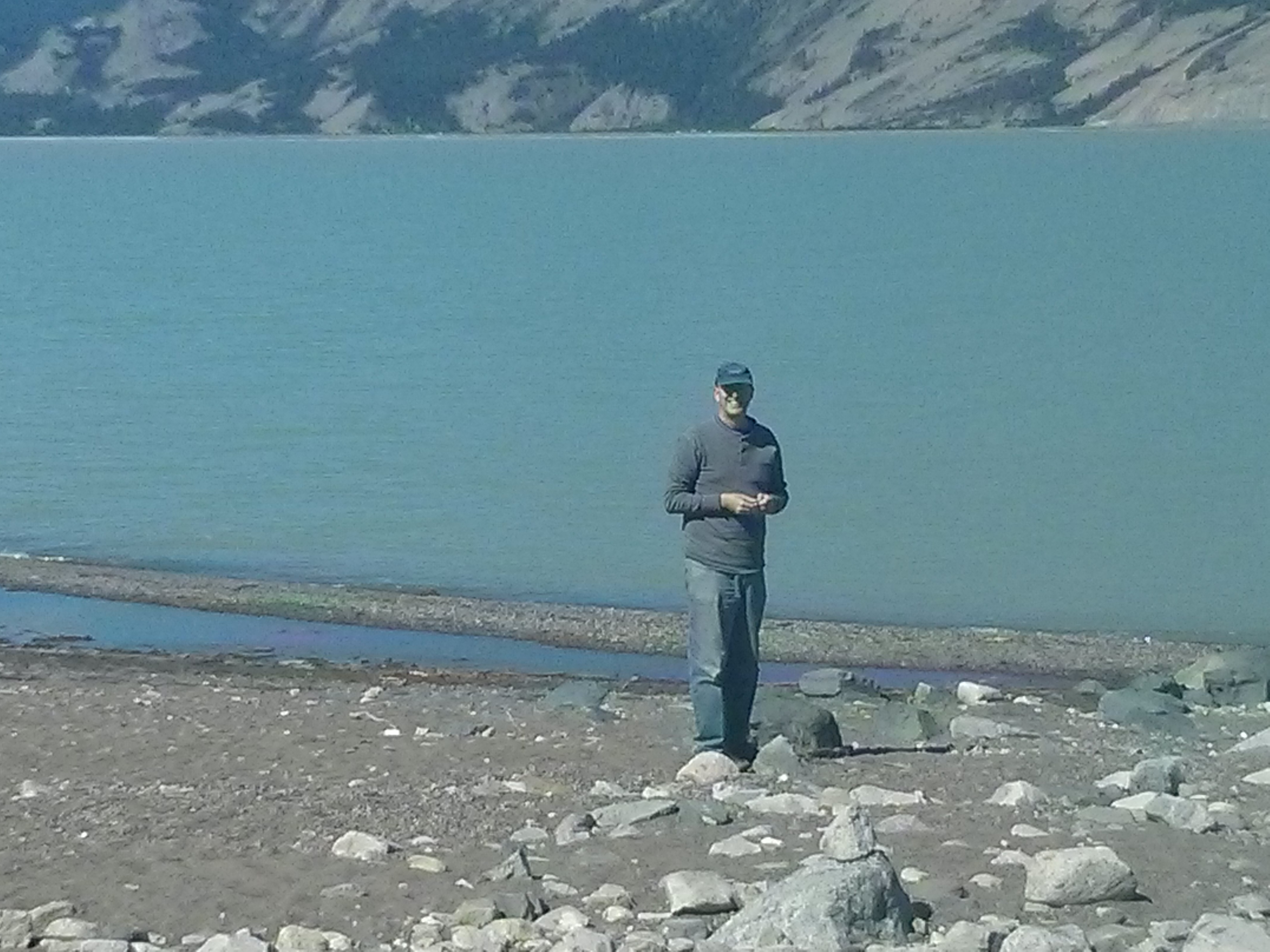
Jeff and Beau swimming in the Arctic. They are being careful to keep their heads above water – the guide warned them that they could permanently lose their hearing if they put their heads underwater. He said that the seismic testing being conducted is very harmful to the ears. Someone asked ‘what about the fish?’ The guide said their hearing would not be harmed. Hmmm…
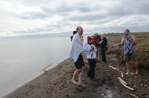
After the swim – everyone else is wearing winter coats and hats!
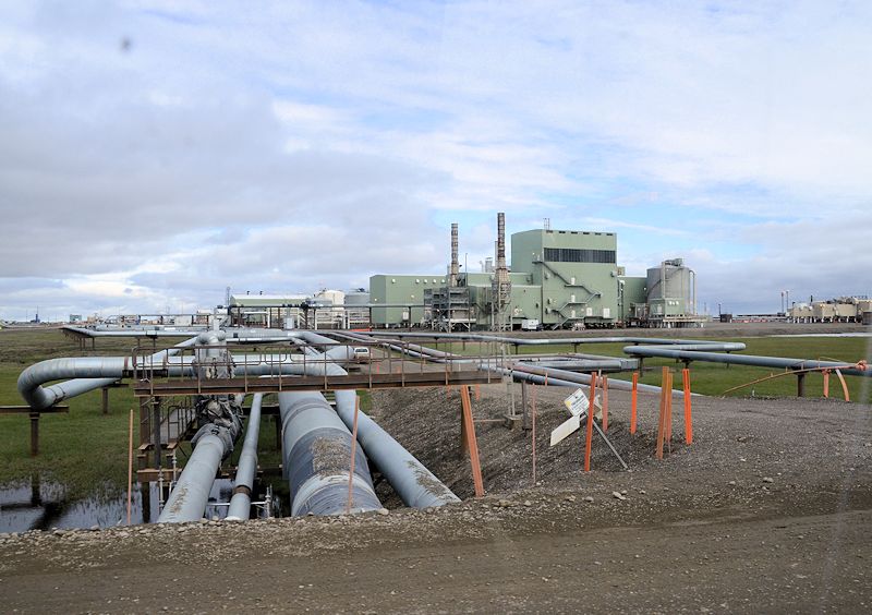
 Pipeline, oilfield life
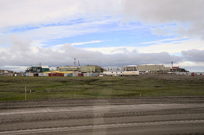
The workers at the oil field live in ‘man camps’ – here is a picture of the BP camp at Prudhoe Bay:
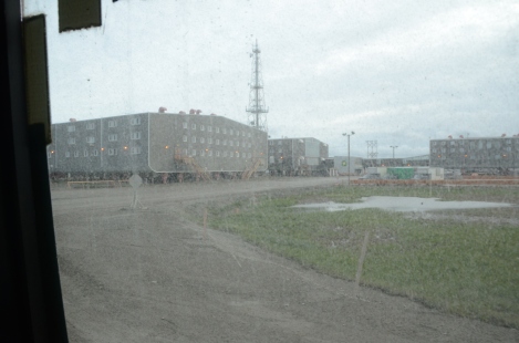
The guide said it has an indoor gym and swimming pool. I found a couple of interesting articles about man camps: http://www.d.umn.edu/~cstroupe/archive/5230/glocal/prudhoe/www.d.umn.edu/~hoef0049/pblife.html
http://www.suntimes.com/business/7391868-420/earning-100k-at-man-camp.html#.U-OZdvldWVM
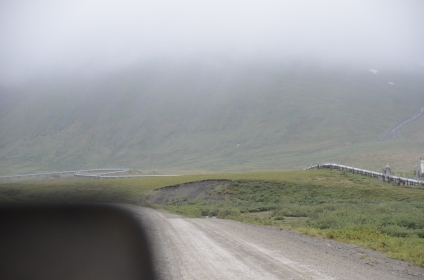
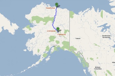
The pipeline runs along the highway, across 800 miles of Alaska to its end in Valdez
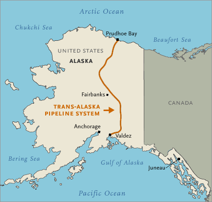
Map of the pipeline:
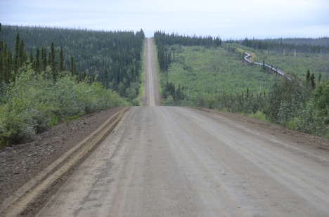
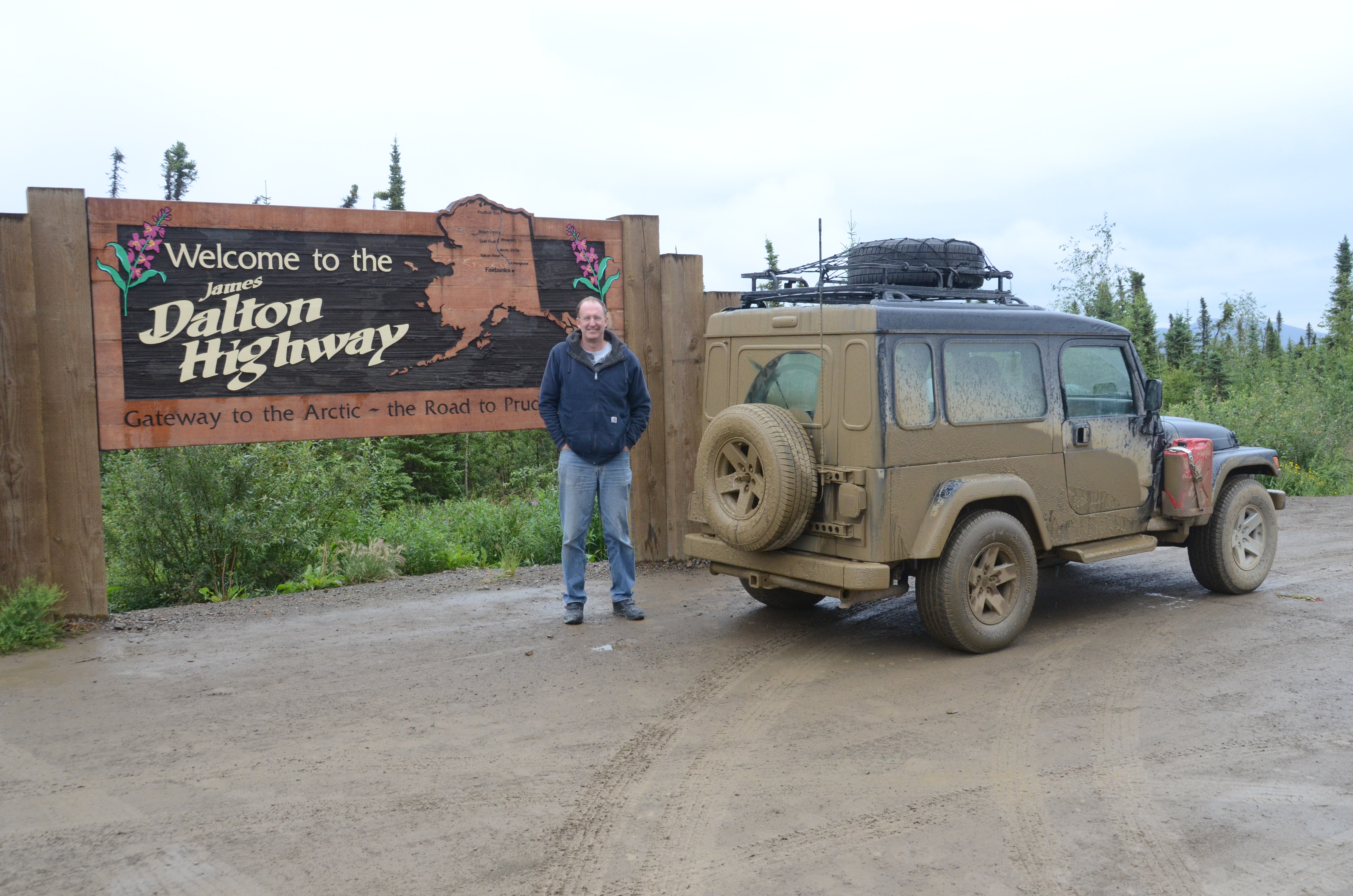
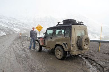
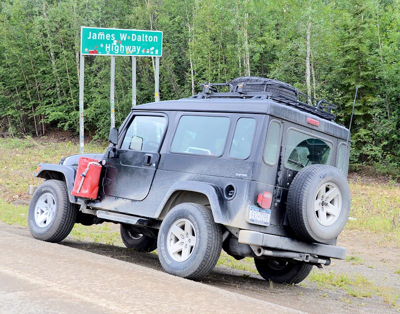
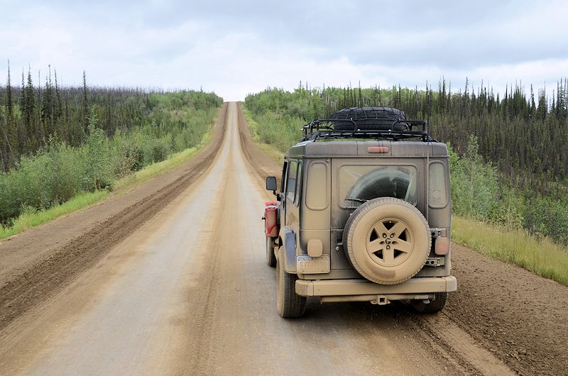
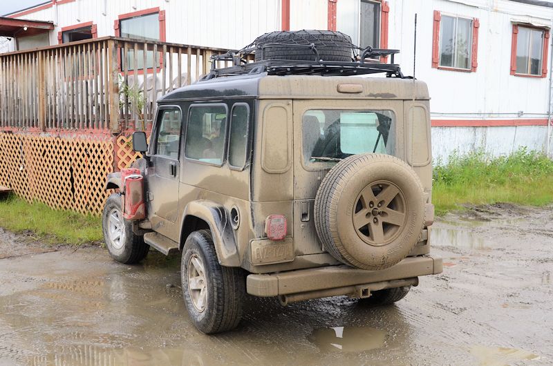
Dirt roads and mud
Truckers have named some of the hills on the Dalton Highway, here is a picture of Roller Coaster:
By the time we got back to the beginning of the Dalton, the jeep was completely encrusted with mud:
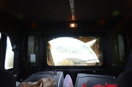
Here is a view out the back window:
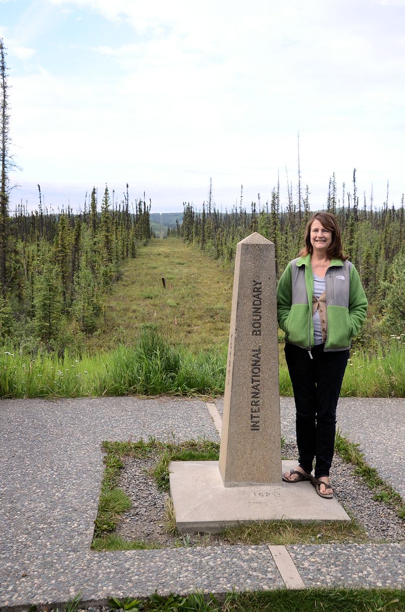
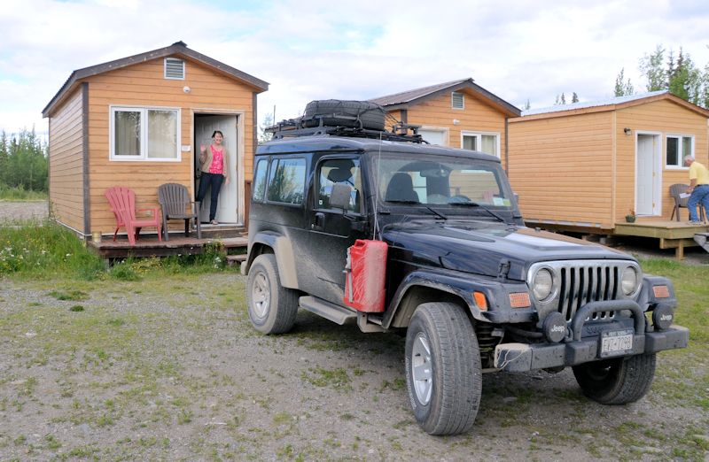
Also note that we each traveled with one carry-on size suitcase for the 22-day trip!
Final photo
We have so many great pictures! For fathers’ day, Kristen gave Jeff a certificate for a photo book so he could make a book of the trip – can’t wait to see it!


